
Thank you for supporting this site ❤️
Make a donation
Make a donation
Leachville topographic map
Click on the map to display elevation.
Thank you for supporting this site ❤️
Make a donation
Make a donation
About this map
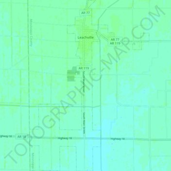
Name: Leachville topographic map, elevation, terrain.
Location: Leachville, Mississippi County, Arkansas, United States (35.87397 -90.28742 35.94900 -90.22252)
Average elevation: 71 m
Minimum elevation: 68 m
Maximum elevation: 75 m
Thank you for supporting this site ❤️
Make a donation
Make a donation