
Thank you for supporting this site ❤️
Make a donation
Make a donation
Kellyville topographic map
Click on the map to display elevation.
Thank you for supporting this site ❤️
Make a donation
Make a donation
About this map
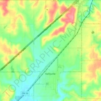
Name: Kellyville topographic map, elevation, terrain.
Location: Kellyville, Creek County, Oklahoma, United States (35.92724 -96.25370 35.98838 -96.18194)
Average elevation: 252 m
Minimum elevation: 218 m
Maximum elevation: 301 m
Thank you for supporting this site ❤️
Make a donation
Make a donation
Other topographic maps
Click on a map to view its topography, its elevation and its terrain.