
Portlethen topographic map
Click on the map to display elevation.
About this map
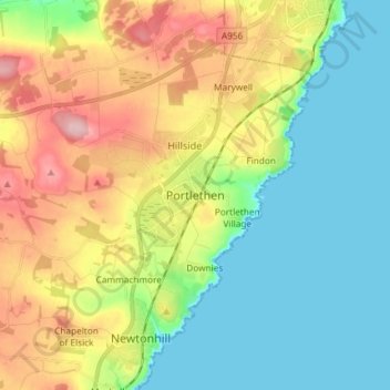
Name: Portlethen topographic map, elevation, terrain.
Location: Portlethen, Aberdeenshire, Scotland, AB12 4PT, United Kingdom (57.02147 -2.16971 57.10147 -2.08971)
Average elevation: 60 m
Minimum elevation: 0 m
Maximum elevation: 167 m