
Parque El Tucán topographic map
Interactive map
Click on the map to display elevation.
About this map
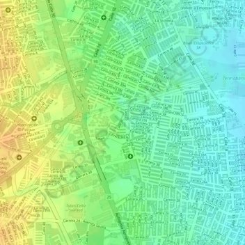
Name: Parque El Tucán topographic map, elevation, terrain.
Location: Parque El Tucán, Soledad, Atlántico, RAP Caribe, Colombia (10.93142 -74.77640 10.93256 -74.77590)
Average elevation: 21 m
Minimum elevation: 5 m
Maximum elevation: 39 m
Other topographic maps
Click on a map to view its topography, its elevation and its terrain.