
Le Bouillet topographic map
Interactive map
Click on the map to display elevation.
About this map
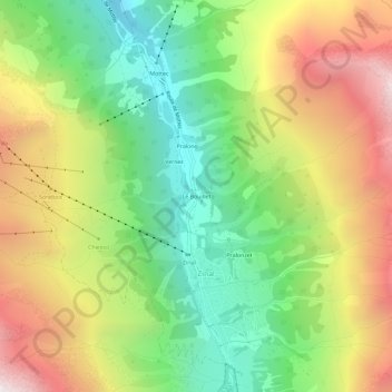
Name: Le Bouillet topographic map, elevation, terrain.
Location: Le Bouillet, Zinal, Anniviers, Sierre, Valais, 3961, Suisse (46.12415 7.60537 46.16415 7.64537)
Average elevation: 2,167 m
Minimum elevation: 1,460 m
Maximum elevation: 3,091 m
Other topographic maps
Click on a map to view its topography, its elevation and its terrain.