
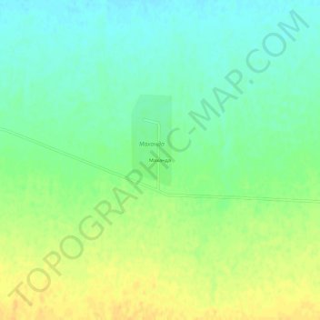
Маханда topographic map
Interactive map
Click on the map to display elevation.
About this map
Name: Маханда topographic map, elevation, terrain.
Location: Маханда, Меркенский район, Jambyl Region, Kazakhstan (42.86509 73.40009 42.90509 73.44009)
Average elevation: 675 m
Minimum elevation: 663 m
Maximum elevation: 689 m