
Bussum topographic map
Interactive map
Click on the map to display elevation.
About this map
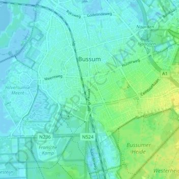
Name: Bussum topographic map, elevation, terrain.
Location: Bussum, Gooise Meren, Hollande-Septentrionale, Pays-Bas (52.25580 5.13720 52.28503 5.20112)
Average elevation: 5 m
Minimum elevation: -4 m
Maximum elevation: 18 m