
Pias topographic map
Interactive map
Click on the map to display elevation.
About this map
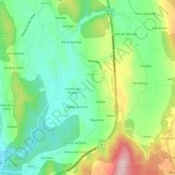
Name: Pias topographic map, elevation, terrain.
Location: Pias, Ferreira do Zêzere, Santarém, 2240-347, Portugal (39.69386 -8.35300 39.73386 -8.31300)
Average elevation: 257 m
Minimum elevation: 157 m
Maximum elevation: 440 m