
Frossos topographic map
Interactive map
Click on the map to display elevation.
About this map
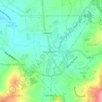
Name: Frossos topographic map, elevation, terrain.
Location: Frossos, Merelim (São Pedro) e Frossos, Braga, Portugal (41.55855 -8.45666 41.57313 -8.44447)
Average elevation: 73 m
Minimum elevation: 34 m
Maximum elevation: 168 m
Other topographic maps
Click on a map to view its topography, its elevation and its terrain.