
Bekily topographic map
Interactive map
Click on the map to display elevation.
About this map
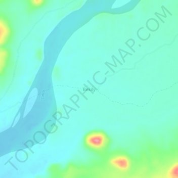
Name: Bekily topographic map, elevation, terrain.
Location: Bekily, Atsimo-Andrefana, Province de Tuléar, Madagascar (-24.56525 44.38612 -24.52525 44.42612)
Average elevation: 160 m
Minimum elevation: 143 m
Maximum elevation: 238 m
Other topographic maps
Click on a map to view its topography, its elevation and its terrain.