
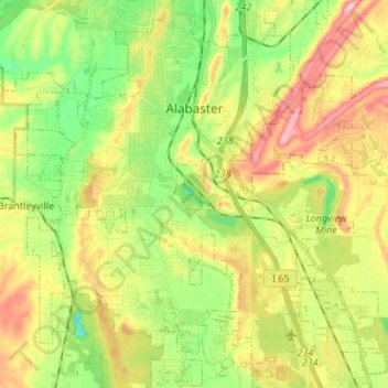
Alabaster topographic map
Interactive map
Click on the map to display elevation.
About this map
Name: Alabaster topographic map, elevation, terrain.
Location: Alabaster, Shelby County, Alabama, 35007, United States (33.16721 -86.87322 33.27176 -86.75269)
Average elevation: 173 m
Minimum elevation: 86 m
Maximum elevation: 282 m
Other topographic maps
Click on a map to view its topography, its elevation and its terrain.
Hardy
United States > Alabama > Shelby County > Alabaster
Hardy, Alabaster, Shelby County, Alabama, 35007, United States
Average elevation: 157 m