
Bague topographic map
Interactive map
Click on the map to display elevation.
About this map
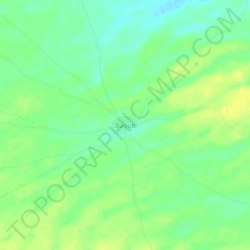
Name: Bague topographic map, elevation, terrain.
Location: Bague, Cercle de Nara, Koulikoro, Mali (15.35773 -8.78113 15.39773 -8.74113)
Average elevation: 266 m
Minimum elevation: 255 m
Maximum elevation: 276 m