
La Joya topographic map
Interactive map
Click on the map to display elevation.
About this map
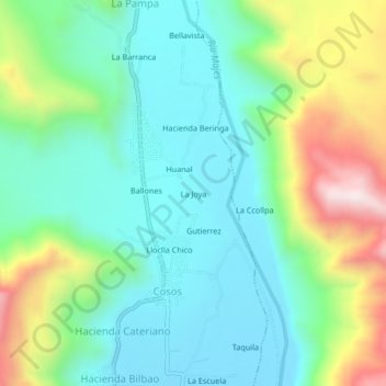
Name: La Joya topographic map, elevation, terrain.
Location: La Joya, Provincia de Castilla, Arequipa, Perú (-16.06788 -72.50401 -16.02788 -72.46401)
Average elevation: 821 m
Minimum elevation: 618 m
Maximum elevation: 1,322 m
Other topographic maps
Click on a map to view its topography, its elevation and its terrain.