
Indian Springs topographic map
Interactive map
Click on the map to display elevation.
About this map
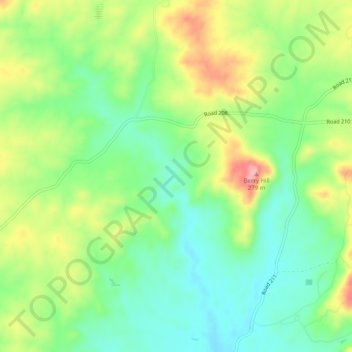
Name: Indian Springs topographic map, elevation, terrain.
Location: Indian Springs, Madera County, California, USA (37.03050 -119.75237 37.07050 -119.71237)
Average elevation: 190 m
Minimum elevation: 135 m
Maximum elevation: 278 m
Other topographic maps
Click on a map to view its topography, its elevation and its terrain.
Indian Springs
USA > California > Indian Springs
Indian Springs, Mendocino County, California, 95429, USA
Average elevation: 509 m