
canal de aguas lluvias topographic map
Interactive map
Click on the map to display elevation.
About this map
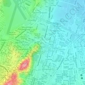
Name: canal de aguas lluvias topographic map, elevation, terrain.
Average elevation: 305 m
Minimum elevation: 275 m
Maximum elevation: 390 m
Other topographic maps
Click on a map to view its topography, its elevation and its terrain.
Cúcuta
Colombia > Norte de Santander > Cúcuta
Cúcuta, Oriental, Norte de Santander, Región Andina, 540001, Colombia
Average elevation: 575 m
Los olivos
Colombia > Norte de Santander > Cúcuta
Los olivos, Cúcuta, Norte de Santander, 540013, Colombia
Average elevation: 287 m