
Landgrove topographic map
Interactive map
Click on the map to display elevation.
About this map
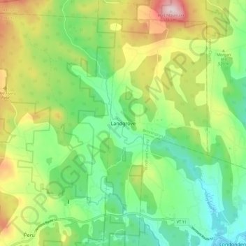
Name: Landgrove topographic map, elevation, terrain.
Location: Landgrove, Bennington County, Vermont, 05152, United States (43.22632 -72.89726 43.30632 -72.81726)
Average elevation: 491 m
Minimum elevation: 340 m
Maximum elevation: 756 m