
Thank you for supporting this site ❤️
Make a donation
Make a donation
Fort Sherman topographic map
Click on the map to display elevation.
Thank you for supporting this site ❤️
Make a donation
Make a donation
About this map
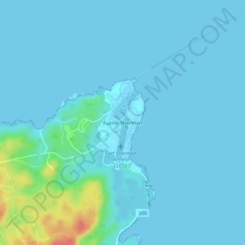
Name: Fort Sherman topographic map, elevation, terrain.
Location: Fort Sherman, Cristóbal, Colón, Panama (9.34492 -79.97247 9.38492 -79.93247)
Average elevation: 8 m
Minimum elevation: -2 m
Maximum elevation: 73 m
Thank you for supporting this site ❤️
Make a donation
Make a donation