
Thank you for supporting this site ❤️
Make a donation
Make a donation
Amaravathi topographic map
Click on the map to display elevation.
Thank you for supporting this site ❤️
Make a donation
Make a donation
About this map
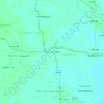
Name: Amaravathi topographic map, elevation, terrain.
Location: Amaravathi, Valangaiman, Thiruvarur, Tamil Nadu, 612605, India (10.82803 79.38183 10.86803 79.42183)
Average elevation: 23 m
Minimum elevation: 20 m
Maximum elevation: 26 m
Thank you for supporting this site ❤️
Make a donation
Make a donation