
Ermelo topographic map
Interactive map
Click on the map to display elevation.
About this map
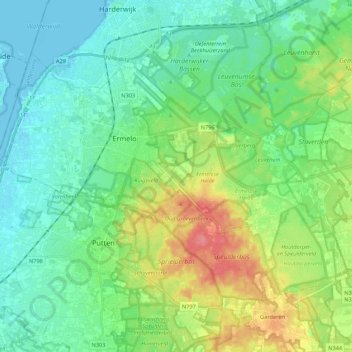
Name: Ermelo topographic map, elevation, terrain.
Location: Ermelo, Gelderland, Netherlands (52.23933 5.54517 52.33239 5.76145)
Average elevation: 16 m
Minimum elevation: -8 m
Maximum elevation: 66 m
Other topographic maps
Click on a map to view its topography, its elevation and its terrain.