
Matlock topographic map
Click on the map to display elevation.
About this map
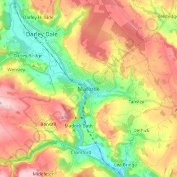
Name: Matlock topographic map, elevation, terrain.
Average elevation: 213 m
Minimum elevation: 76 m
Maximum elevation: 367 m
Other topographic maps
Click on a map to view its topography, its elevation and its terrain.
Longford CP
United Kingdom > England > Derbyshire > Derbyshire Dales > Longford CP
Average elevation: 94 m