
Leighton Lake topographic map
Interactive map
Click on the map to display elevation.
About this map
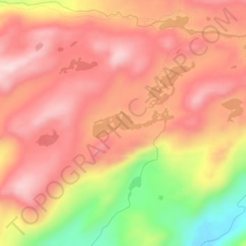
Name: Leighton Lake topographic map, elevation, terrain.
Location: Leighton Lake, Tuolumne County, California, United States (38.14009 -119.77327 38.14345 -119.76188)
Average elevation: 2,514 m
Minimum elevation: 2,313 m
Maximum elevation: 2,621 m