
Thank you for supporting this site ❤️
Make a donation
Make a donation
Millerton topographic map
Click on the map to display elevation.
Thank you for supporting this site ❤️
Make a donation
Make a donation
About this map
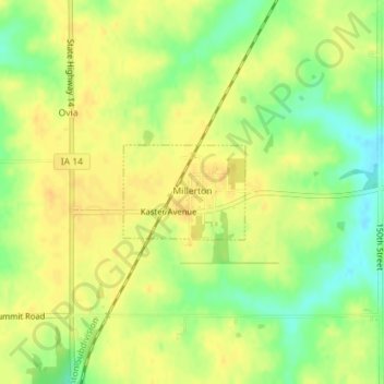
Name: Millerton topographic map, elevation, terrain.
Location: Millerton, Wayne County, Iowa, 50165, United States (40.84602 -93.31260 40.85271 -93.30124)
Average elevation: 320 m
Minimum elevation: 302 m
Maximum elevation: 330 m
Thank you for supporting this site ❤️
Make a donation
Make a donation