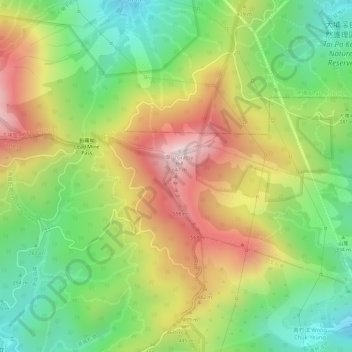
旱山頂 Hon Shan Teng topographic map
Interactive map
Click on the map to display elevation.
About this map
Name: 旱山頂 Hon Shan Teng topographic map, elevation, terrain.
Average elevation: 380 m
Minimum elevation: 158 m
Maximum elevation: 628 m

Click on the map to display elevation.
Name: 旱山頂 Hon Shan Teng topographic map, elevation, terrain.
Average elevation: 380 m
Minimum elevation: 158 m
Maximum elevation: 628 m