
Waterval topographic map
Interactive map
Click on the map to display elevation.
About this map
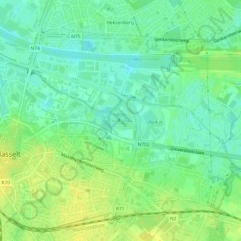
Name: Waterval topographic map, elevation, terrain.
Location: Waterval, Hasselt, Limburg, Vlaanderen, België (50.93408 5.35774 50.93413 5.35786)
Average elevation: 36 m
Minimum elevation: 26 m
Maximum elevation: 46 m
Other topographic maps
Click on a map to view its topography, its elevation and its terrain.
Stevoort
België > Vlaanderen > Hasselt > Stevoort
Stevoort, Hasselt, Limburg, Vlaanderen, 3512, België
Average elevation: 34 m