
Thank you for supporting this site ❤️
Make a donation
Make a donation
Tharaka topographic map
Click on the map to display elevation.
Thank you for supporting this site ❤️
Make a donation
Make a donation
About this map
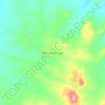
Name: Tharaka topographic map, elevation, terrain.
Location: Tharaka, Mwingi North, Kitui County, Eastern, Kenya (-0.32000 37.99660 -0.28000 38.03660)
Average elevation: 526 m
Minimum elevation: 469 m
Maximum elevation: 642 m
Thank you for supporting this site ❤️
Make a donation
Make a donation