
Thank you for supporting this site ❤️
Make a donation
Make a donation
Batan Grande topographic map
Click on the map to display elevation.
Thank you for supporting this site ❤️
Make a donation
Make a donation
About this map
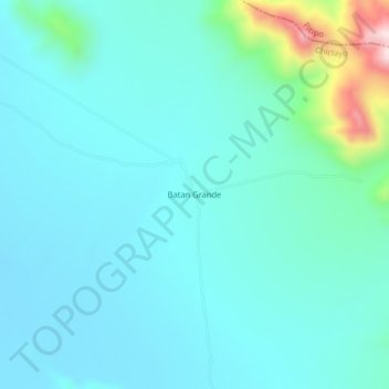
Name: Batan Grande topographic map, elevation, terrain.
Location: Batan Grande, Chongoyape, Chiclayo, Lambayeque, Perú (-6.55473 -79.56885 -6.51473 -79.52885)
Average elevation: 201 m
Minimum elevation: 132 m
Maximum elevation: 576 m
Thank you for supporting this site ❤️
Make a donation
Make a donation