
Thank you for supporting this site ❤️
Make a donation
Make a donation
Kasat topographic map
Click on the map to display elevation.
Thank you for supporting this site ❤️
Make a donation
Make a donation
About this map
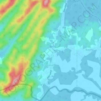
Name: Kasat topographic map, elevation, terrain.
Location: Kasat, Mukim Lumapas, Brunei-Muara District, Brunei (4.80776 114.93491 4.85081 114.96506)
Average elevation: 37 m
Minimum elevation: -3 m
Maximum elevation: 177 m
Thank you for supporting this site ❤️
Make a donation
Make a donation
Other topographic maps
Click on a map to view its topography, its elevation and its terrain.