
Pulikkoottil Ukru Vaka Kulam topographic map
Interactive map
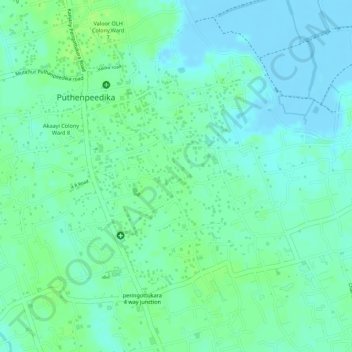
Click on the map to display elevation.
About this map
Name: Pulikkoottil Ukru Vaka Kulam topographic map, elevation, terrain.
Average elevation: 6 m
Minimum elevation: -6 m
Maximum elevation: 12 m