
Magaria topographic map
Interactive map
Click on the map to display elevation.
About this map
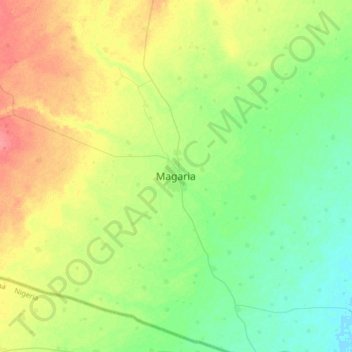
Name: Magaria topographic map, elevation, terrain.
Location: Magaria, Zinder, Niger (12.84095 8.74894 13.16095 9.06894)
Average elevation: 398 m
Minimum elevation: 377 m
Maximum elevation: 432 m
Other topographic maps
Click on a map to view its topography, its elevation and its terrain.