
Chisholm topographic map
Interactive map
Click on the map to display elevation.
About this map
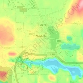
Name: Chisholm topographic map, elevation, terrain.
Location: Chisholm, Saint Louis County, Minnesota, USA (47.46808 -92.90509 47.50566 -92.83600)
Average elevation: 463 m
Minimum elevation: 406 m
Maximum elevation: 533 m