
Thank you for supporting this site ❤️
Make a donation
Make a donation
Chesapeake Forest topographic map
Click on the map to display elevation.
Thank you for supporting this site ❤️
Make a donation
Make a donation
About this map
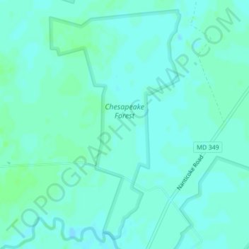
Name: Chesapeake Forest topographic map, elevation, terrain.
Location: Chesapeake Forest, Wicomico County, Maryland, United States (38.32558 -75.82827 38.35051 -75.81014)
Average elevation: 3 m
Minimum elevation: 0 m
Maximum elevation: 7 m
Thank you for supporting this site ❤️
Make a donation
Make a donation