
Clèbes topographic map
Interactive map
Click on the map to display elevation.
About this map
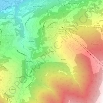
Name: Clèbes topographic map, elevation, terrain.
Location: Clèbes, Nendaz, Conthey, Valais, 1997, Suisse (46.16617 7.31686 46.20617 7.35686)
Average elevation: 1,324 m
Minimum elevation: 479 m
Maximum elevation: 2,330 m
Other topographic maps
Click on a map to view its topography, its elevation and its terrain.