
Thank you for supporting this site ❤️
Make a donation
Make a donation
Maropeng topographic map
Click on the map to display elevation.
Thank you for supporting this site ❤️
Make a donation
Make a donation
About this map
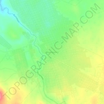
Name: Maropeng topographic map, elevation, terrain.
Average elevation: 1,284 m
Minimum elevation: 1,251 m
Maximum elevation: 1,326 m
Thank you for supporting this site ❤️
Make a donation
Make a donation
Other topographic maps
Click on a map to view its topography, its elevation and its terrain.
Kuruman
South Africa > Northern Cape > John Taolo Gaetsewe District Municipality > Ga-Segonyana Local Municipality
Average elevation: 1,144 m