
Thank you for supporting this site ❤️
Make a donation
Make a donation
Lac Sopwith topographic map
Click on the map to display elevation.
Thank you for supporting this site ❤️
Make a donation
Make a donation
About this map
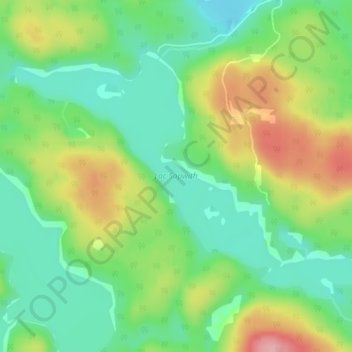
Name: Lac Sopwith topographic map, elevation, terrain.
Location: Lac Sopwith, Otter Lake, Pontiac, Outaouais, Quebec, Canada (45.92850 -76.53681 45.94987 -76.49276)
Average elevation: 275 m
Minimum elevation: 220 m
Maximum elevation: 367 m
Thank you for supporting this site ❤️
Make a donation
Make a donation