
La Blanca topographic map
Interactive map
Click on the map to display elevation.
About this map
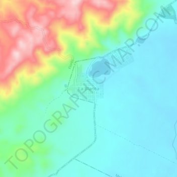
Name: La Blanca topographic map, elevation, terrain.
Location: La Blanca, Dolores, Petén, Guatemala (16.87382 -89.47494 16.91382 -89.43494)
Average elevation: 236 m
Minimum elevation: 162 m
Maximum elevation: 421 m