
Taous topographic map
Interactive map
Click on the map to display elevation.
About this map
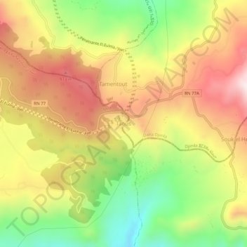
Name: Taous topographic map, elevation, terrain.
Location: Taous, Daïra Tassadane Haddada, Mila, 43036, RADP (36.52560 5.81626 36.56560 5.85626)
Average elevation: 809 m
Minimum elevation: 476 m
Maximum elevation: 1,120 m