
Hanksville topographic map
Interactive map
Click on the map to display elevation.
About this map
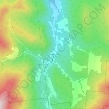
Name: Hanksville topographic map, elevation, terrain.
Average elevation: 426 m
Minimum elevation: 232 m
Maximum elevation: 749 m
Other topographic maps
Click on a map to view its topography, its elevation and its terrain.
Huntington Center
United States > Vermont > Chittenden County > Huntington
Huntington Center, Huntington, Chittenden County, Vermont, 05462, United States
Average elevation: 322 m