
Thank you for supporting this site ❤️
Make a donation
Make a donation
Sikwane topographic map
Click on the map to display elevation.
Thank you for supporting this site ❤️
Make a donation
Make a donation
About this map
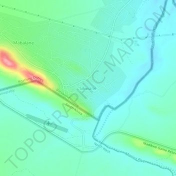
Name: Sikwane topographic map, elevation, terrain.
Location: Sikwane, Kgatleng District, Botswana (-24.65852 26.38636 -24.61852 26.42636)
Average elevation: 929 m
Minimum elevation: 907 m
Maximum elevation: 1,011 m
Thank you for supporting this site ❤️
Make a donation
Make a donation