
Thank you for supporting this site ❤️
Make a donation
Make a donation
Lodi topographic map
Click on the map to display elevation.
Thank you for supporting this site ❤️
Make a donation
Make a donation
Lodi
Lodi is flat terrain at an elevation of approximately 50 feet (15 m) above mean sea level datum. Historically the area has had some grazing land uses as well as grain production.
Thank you for supporting this site ❤️
Make a donation
Make a donation
About this map
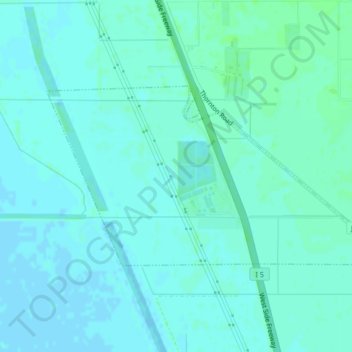
Name: Lodi topographic map, elevation, terrain.
Location: Lodi, San Joaquin County, California, United States (38.08245 -121.40527 38.09924 -121.36351)
Average elevation: 3 m
Minimum elevation: -2 m
Maximum elevation: 7 m
Thank you for supporting this site ❤️
Make a donation
Make a donation