
Stege topographic map
Interactive map
Click on the map to display elevation.
About this map
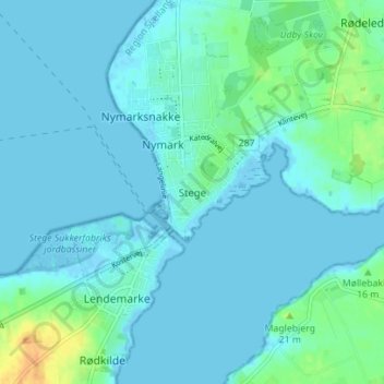
Name: Stege topographic map, elevation, terrain.
Location: Stege, Vordingborg Kommune, Region Seeland, 4780, Dänemark (54.96638 12.26613 55.00638 12.30613)
Average elevation: 5 m
Minimum elevation: -6 m
Maximum elevation: 31 m