
Eisenhüttenstadt topographic map
Interactive map
Click on the map to display elevation.
About this map
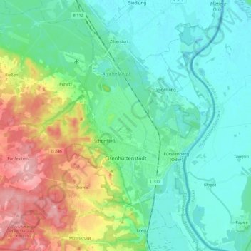
Name: Eisenhüttenstadt topographic map, elevation, terrain.
Location: Eisenhüttenstadt, Oder-Spree, Brandenburg, 15890, Deutschland (52.09568 14.56538 52.22790 14.70557)
Average elevation: 58 m
Minimum elevation: 21 m
Maximum elevation: 159 m