
La batanera topographic map
Interactive map
Click on the map to display elevation.
About this map
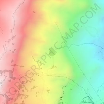
Name: La batanera topographic map, elevation, terrain.
Location: La batanera, Chipatá, Vélez, Santander, Colombia (6.04049 -73.68161 6.04271 -73.67983)
Average elevation: 2,469 m
Minimum elevation: 2,105 m
Maximum elevation: 2,794 m