
Langwies topographic map
Interactive map
Click on the map to display elevation.
About this map
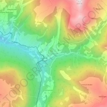
Name: Langwies topographic map, elevation, terrain.
Location: Langwies, Arosa, Plessur, Grisons, 7057, Suisse (46.80089 9.69236 46.84089 9.73236)
Average elevation: 1,666 m
Minimum elevation: 1,150 m
Maximum elevation: 2,281 m