
Hoyer topographic map
Interactive map
Click on the map to display elevation.
About this map
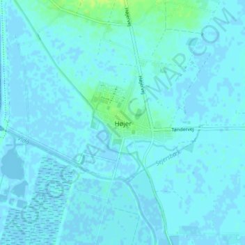
Name: Hoyer topographic map, elevation, terrain.
Location: Hoyer, Kommune Tondern, 6280, Dänemark (54.94396 8.67524 54.98396 8.71524)
Average elevation: 2 m
Minimum elevation: -7 m
Maximum elevation: 12 m