
Terschelling topographic map
Interactive map
Click on the map to display elevation.
About this map
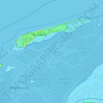
Name: Terschelling topographic map, elevation, terrain.
Location: Terschelling, Frise, Pays-Bas (53.21561 5.08707 53.47158 5.61283)
Average elevation: 0 m
Minimum elevation: -12 m
Maximum elevation: 24 m
Other topographic maps
Click on a map to view its topography, its elevation and its terrain.
West-Terschelling
Pays-Bas > Frise > Terschelling
West-Terschelling, Terschelling, Frise, Pays-Bas
Average elevation: 0 m