
Thank you for supporting this site ❤️
Make a donation
Make a donation
Khogarpara topographic map
Click on the map to display elevation.
Thank you for supporting this site ❤️
Make a donation
Make a donation
About this map
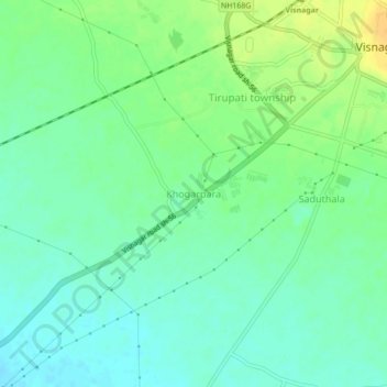
Name: Khogarpara topographic map, elevation, terrain.
Location: Khogarpara, Visnagar Taluka, Mahesana, Gujarat, 384300, India (23.66260 72.50981 23.70260 72.54981)
Average elevation: 121 m
Minimum elevation: 110 m
Maximum elevation: 138 m
Thank you for supporting this site ❤️
Make a donation
Make a donation