
Dhaka District topographic map
Interactive map
Click on the map to display elevation.
About this map
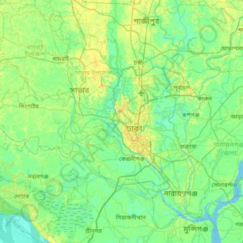
Name: Dhaka District topographic map, elevation, terrain.
Location: Dhaka District, Dhaka Division, Bangladesh (23.51656 90.00993 24.04366 90.50883)
Average elevation: 7 m
Minimum elevation: -2 m
Maximum elevation: 23 m
Other topographic maps
Click on a map to view its topography, its elevation and its terrain.
Mawa
Bangladesh > Dhaka Division > Mawa
Mawa, Munshiganj District, Dhaka Division, Bangladesh
Average elevation: 4 m