
Nápoles topographic map
Interactive map
Click on the map to display elevation.
About this map
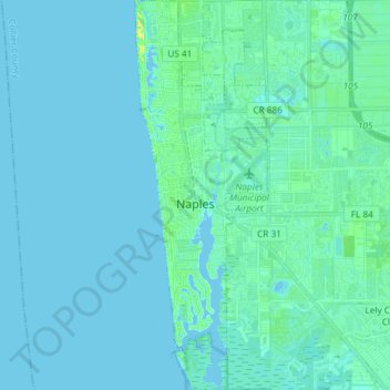
Name: Nápoles topographic map, elevation, terrain.
Location: Nápoles, Collier County, Florida, Estados Unidos de América (26.07892 -81.81708 26.21109 -81.76684)
Average elevation: 3 m
Minimum elevation: -1 m
Maximum elevation: 24 m