
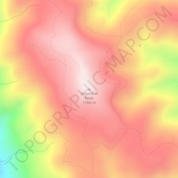
Sugarloaf Peak topographic map
Interactive map
Click on the map to display elevation.
About this map
Name: Sugarloaf Peak topographic map, elevation, terrain.
Location: Sugarloaf Peak, Chelan County, Washington, United States (47.75714 -120.52819 47.75724 -120.52809)
Average elevation: 1,550 m
Minimum elevation: 1,111 m
Maximum elevation: 1,758 m
Other topographic maps
Click on a map to view its topography, its elevation and its terrain.
Wenatchee
United States > Washington > Chelan County > Wenatchee
Wenatchee, Chelan County, Washington, 98801, United States
Average elevation: 302 m
Lake Julius
United States > Washington > Chelan County
Lake Julius, Chelan County, Washington, United States
Average elevation: 1,697 m
Mount David
United States > Washington > Chelan County
Mount David, Chelan County, Washington, United States
Average elevation: 1,736 m
Cashmere
United States > Washington > Chelan County > Cashmere
Cashmere, Chelan County, Washington, United States
Average elevation: 298 m