
Ngonye Falls topographic map
Interactive map
Click on the map to display elevation.
About this map
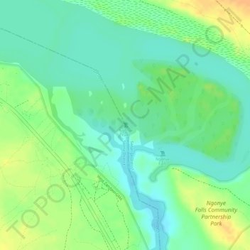
Name: Ngonye Falls topographic map, elevation, terrain.
Location: Ngonye Falls, Sioma District, Western Province, Zambia (-16.65010 23.57140 -16.65000 23.57150)
Average elevation: 985 m
Minimum elevation: 970 m
Maximum elevation: 1,004 m